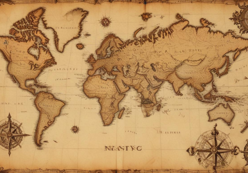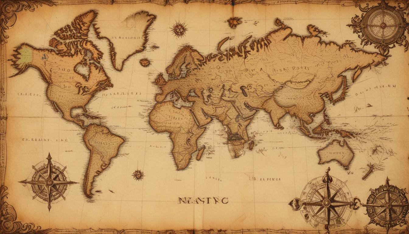
How to research old maps for treasure hunting locations
To effectively utilize old maps in the pursuit of treasure hunting, an understanding of the historical context in which they were created is crucial. Old maps are not just tools for navigation but are also reflections of the knowledge, beliefs, and priorities of their times. This understanding aids significantly in detecting leads and informs more effective location planning.
Initially, consider the era the map represents. Maps made during different periods have varying degrees of accuracy. For instance, maps from the Renaissance period might portray coastlines very differently from those made in the 19th century due to the improvements in surveying techniques. Researching the era can reveal what to expect from the map’s geographic accuracies and what might have been intentionally omitted or emphasized for political or economic reasons.
It’s also useful to understand who made the map and why. Maps created for military use, for example, often emphasize strategic locations such as passes through mountains or estuaries leading to important trade centers. On the other hand, maps designed for trade routes might detail other features such as ports, trading posts, and water sources — potential hints for a treasure hunter.
Additionally, the technology and resources available at the time the map was created will have influenced its accuracy and detail. Before the availability of aerial photography and satellite images, map makers had to rely on ground surveys, sketches, and sometimes even rumors or unverified reports, which can lead to interesting discrepancies or points of interest for a treasure hunter.
Finally, understanding the sponsor of the map or the audience for which it was intended can provide further insights. Maps sponsored by rulers might be intended to show territorial claims or might incorporate symbols that indicate mining areas, estates, or tax boundaries — all potential areas to investigate when planning a treasure hunt based on historical leads.
By delving into the historical context of old maps, treasure hunters can uncover significant clues not just about where to look but also why those locations might be important. This holistic approach to researching old maps enhances the odds of successful treasure hunting considerably.
Locating and accessing old maps
Finding and accessing old maps can be a rewarding yet complex endeavor. For treasure seekers, the quest often begins in specialized archives such as libraries, historical societies, and museums that house collections of old maps. Many of these institutions have digitized portions of their collections, which makes initial research possible from anywhere in the world. However, visiting these places in person can provide access to more detailed resources and expert advice from archivists and historians.
Online databases and digital libraries like the David Rumsey Map Collection, the Library of Congress, or the National Archives offer extensive repositories of historical maps available in high-resolution images. These platforms typically provide tools for zooming in on detailed sections and may offer metadata about the map’s origin, cartographer, and the context in which it was created, substantially aiding in detecting leads and location planning.
Another strategy is to attend auctions or estate sales where old maps can be purchased from private collections. Such sources often yield unique finds that are not available in public collections. Additionally, networking with other treasure hunters and collectors through forums, conferences, and clubs can lead to tips on acquiring old maps and shared insights into interpreting them.
For those inclined to technological solutions, smartphone apps and software that cater specifically to historical maps could facilitate the process of locating and examining old maps. These digital tools can overlay ancient maps over modern GPS coordinates, making them an incredible asset for on-the-ground location planning and exploration.
Lastly, it’s worth exploring local antique shops and flea markets. Occasionally, these places can have hidden gems—old maps tucked away in corners or buried under other artifacts. While the condition and accuracy of maps found in these venues can vary, they can sometimes provide unexpected leads when scrutinized carefully.
Whether through digital archives, physical institutions, or networked connections within the treasure hunting community, locating and accessing old maps involves a blend of traditional and modern techniques. Each method can open different avenues for exploration and significantly enhance the effectiveness of a treasure hunt.
Interpreting symbols and markings
Interpreting symbols and markings on old maps is an essential skill for any treasure hunter. The various symbols and markings found on historical maps can provide critical insights and guide treasure seekers towards potential hotspots. It is important to approach these symbols with a mindset geared towards both the literal and metaphorical meanings, as map makers often used symbols to denote not just geographical features but also political, religious, and cultural landmarks.
One common challenge when working with old maps is deciphering the cartographic symbols used at the time the map was created. Symbols for things such as churches, cemeteries, forts, and villages can vary significantly depending on the map’s origin and age. Utilizing a cartographic reference guide specific to the time period of the map can aid in understanding these symbols accurately. Libraries and online databases often provide access to such reference materials which are invaluable in interpreting these historic documents.
Symbols indicating natural resources such as water sources, mineral deposits, or fertile land are especially valuable in detecting leads for treasure hunting. For example, a map might use a particular icon to indicate a mine or a symbol like a double circle to denote a spring or well—locations that in past times were often sites for hidden caches and lost treasures. Interpreting these symbols correctly can drastically enhance the scope and focus of your location planning.
Moreover, it’s crucial to pay attention to the scale and orientation marks on old maps. These elements can sometimes be misleading due to the less sophisticated surveying tools available at the time. Comparing these elements with current geographic data can resolve ambiguities and provide a clearer understanding of the intended navigation routes or points of interest depicted on the map.
Additionally, treasure hunters should be alert to annotations and marginalia on old maps. These handwritten notes or sketches can sometimes provide context or clues overlooked by others. Such details might include names of previous landowners, dates of significant events, or peculiar landmarks that retain historical value and could point to unnoticed or hidden treasures.
Effective interpretation of symbols and markings on old maps involves a combination of historical knowledge, attention to detail, and sometimes a bit of creative thinking. By mastering these skills, treasure hunters can unlock the secrets of the past, turning enigmatic symbols and cryptic marks into valuable leads for their treasure-hunting exploits.
Cross-referencing with modern maps

When cross-referencing old maps with modern maps, treasure hunters embark on a critical phase of their journey—one that bridges the gap between historical conjectures and contemporary realities. This practice is fundamental for verifying the feasibility of the leads found in ancient cartographies and refining the overall strategy of the treasure hunt. The process often involves a detailed comparison of geographic features such as rivers, mountains, and man-made structures, which may have altered over time due to natural changes or urban development.
A compelling aspect of cross-referencing involves detecting discrepancies between old and modern maps. Such inconsistencies might reveal forgotten or concealed locations that are overlooked in the present day. By overlaying old maps on current geographic information systems (GIS), treasure hunters can pinpoint changes in landscape, shifts in water bodies, or expansion of urban areas that potentially obscure historically significant sites. Furthermore, advanced digital tools and mapping software allow for precise alignment and can highlight areas that deserve closer physical inspection.
In undertaking this meticulous task, attention to detail is paramount. For instance, a road that once led to a now-nonexistent village might still show remnants or traces when surveyed on foot. Additionally, environmental features like old wells, mines, or even trees marked on historical maps might still be discoverable and can be crucial in validating the accuracy of old maps against contemporary observations. This alignment enables effective location planning, allowing treasure hunters to minimize errors and focus their searches more effectively.
Moreover, the process often requires an understanding of how certain landmarks are depicted across different periods. Buildings, bridges, and other structures might have been significant enough to be included in historic maps but could have been demolished or reconstructed in modern times. By accessing local historical records or engaging with community elders, treasure hunters can gather insights that are not readily available through simple observation or modern sources alone.
Cross-referencing is not just a technical task but also a strategic one, that significantly enhances the reliability and success rate of detecting leads from old maps. It ensures that the modern-day treasure hunter does not rely solely on historical data, which could be flawed or outdated, but integrates up-to-date geographical intelligence into their location planning. This comprehensive approach reduces risk and provides a clearer pathway to uncovering hidden treasures that have withstood the tests of time.
Legal considerations in treasure hunting
When engaging in treasure hunting, it’s imperative to be aware of the legal considerations that govern such activities. Depending on the location, the laws can vary significantly, and failure to adhere to these can lead to severe penalties including fines and imprisonment. Treasure hunters must understand that some areas might be protected under cultural heritage laws designed to preserve historical sites, which can include land depicted in old maps.
Before starting any treasure hunting expedition, it’s essential to research and secure the necessary permits. Many countries require a permit for any form of excavation or search for artifacts, especially if it involves historical or archaeological sites. These permits ensure that treasure hunting activities do not interfere with the preservation of cultural heritage or lead to the illegal sale of artifacts.
In addition to government regulations, treasure hunters should be aware of the property rights of the land they wish to explore. It’s not uncommon for old maps to lead to private properties or lands owned by different entities. Gaining explicit permission from landowners is critical to avoiding legal repercussions and maintaining good relationships with local communities. Always ensure that your location planning respects these boundaries and legal frameworks.
Furthermore, the import and export of artifacts found through treasure hunts may be governed by international treaties, particularly if the items are considered culturally or historically significant. It is advisable to consult legal experts or authorities in cultural heritage before moving any found artifacts from their original locations.
Lastly, ethical considerations should also guide the actions of treasure hunters. Respecting the cultural and historical significance of sites, and avoiding any actions that might cause irreversible damage to them, is not only a legal obligation but an ethical one. Responsible treasure hunters prioritize the preservation of historical sites and contribute positively to the field of archaeology and historical studies.
By staying informed about the legal frameworks and respecting the ethical guidelines associated with treasure hunting, enthusiasts can ensure that their pursuits are not only successful in detecting leads but also in complying with the applicable laws and regulations. This adherence to legality not only protects the treasure hunter but also the cultural and historical treasures they seek to uncover.
You may also like
Archives
Calendar
| M | T | W | T | F | S | S |
|---|---|---|---|---|---|---|
| 1 | 2 | 3 | 4 | |||
| 5 | 6 | 7 | 8 | 9 | 10 | 11 |
| 12 | 13 | 14 | 15 | 16 | 17 | 18 |
| 19 | 20 | 21 | 22 | 23 | 24 | 25 |
| 26 | 27 | 28 | 29 | 30 | 31 | |
Leave a Reply